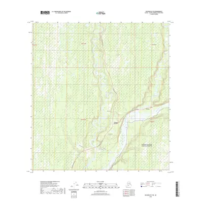
2019 Map of Gulkana B-3 SW
USGS Topo · Published 2019About this map
Gakona Junction marks the pivotal intersection of the Richardson Highway and the Tok Cutoff Highway, serving as a vital transportation node in the Copper River Basin. The landscape is defined by the confluence of major waterways, where the Gulkana River and Gakona River feed into the braided channels of the massive Copper River. This 2019 survey illustrates the modern layout of the Gakona settlement and the nearby Jacobus Field airstrip, which supports local aviation needs in this interior region. The eastern portion of the map covers the boundary of the Wrangell-St. Elias National Preserve, documenting the interface between human infrastructure and protected wilderness. Smaller access routes like Sailors Pit Trail and 23 ARC-19 Road branch off the primary highways, while Bear Cr drains the marshy lowlands to the west.
Find a feature on this map
19 named features on this map. Tap any name to fly to it.
Don’t see what you’re looking for? This feature index may not catch every label — zoom into the map to look around manually.
Map Details
Editions of this 2019 Gulkana B-3 SW Map
This is the sole edition of this map. No revisions or reprints were ever made.
Other maps of this area
1949 · Gulkana A-3
USGS Topo · 1:63,360
1950 · Gulkana B-3
USGS Topo · 1:63,360
1951 · Gulkana
USGS Topo · 1:250,000
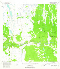
1951 · Gulkana A-4
USGS Topo · 1:63,360
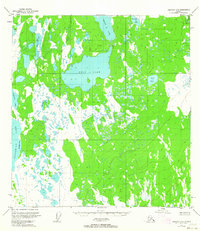
1951 · Gulkana B-4
USGS Topo · 1:63,360
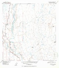
1952 · Gulkana A-3
USGS Topo · 1:63,360
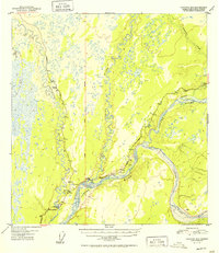
1952 · Gulkana B-3
USGS Topo · 1:63,360
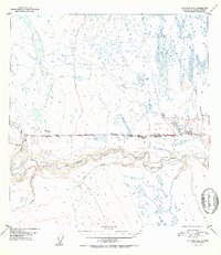
1952 · Gulkana A-4
USGS Topo · 1:63,360
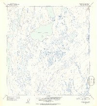
1952 · Gulkana B-4
USGS Topo · 1:63,360
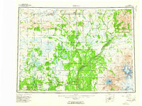
1959 · Gulkana
USGS Topo · 1:250,000