Old Maps of McCarthy, Alaska for Genealogy
Trace your family roots with 6 historic maps of McCarthy. These high-res maps reveal old neighborhoods, homesites, landmarks, and streets — helping you uncover where your ancestors lived and how the area evolved over time.
- Explore historic neighborhoods: Identify where your relatives may have lived in the 1800s or 1900s.
- Compare maps over time: Trace the changes in streets, buildings, and landmarks for multi-generational research.
- Perfect for genealogy & ancestry research: Used by family historians and researchers to map out lineage and migration.
These maps are an incredible resource for exploring your personal connection to McCarthy's past.
McCarthy, AK maps
(6)- 1951 Map of McCarthy
 1951 McCarthy1951 Print · USGSThe high Wrangell Mountains and the copper country of the early 1950s are preserved here in detail. Researchers can trace the routes from McCarthy to the Jumbo Mine or explore the massive reaches of the Kennicott Glacier and Chitina River.4 unique versions available
 - 1959 Map of McCarthy B-6
 1959 McCarthy B-61959 Print · USGSThe copper-mining hubs of Kennecott and McCarthy are captured here in the late fifties, during a period of transition for this remote valley. You can trace the Old Railroad Grade, locate the Aerial Tram, and find family history markers like the Cem or Graves.4 unique versions available
 - 1960 Map of McCarthy, 1967 Print
 1960 McCarthy1967 Print · USGSThe Wrangell Mountains and the Alaska-Yukon border are captured here during a period of transition for the region's mining and transportation networks. Researchers can trace the RR line to McCarthy and locate remote outposts like Dan Creek Camp and Chititu Camp.7 unique versions available
 - 1994 Map of McCarthy B-6, 2002 Print
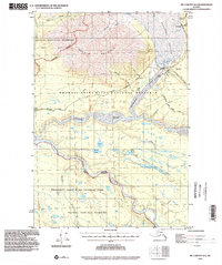 1994 McCarthy B-62002 Print · USGSMcCarthy and the surrounding Wrangell-Saint Elias wilderness are captured in the late twentieth century as the region transitioned into preserve status. Researchers can trace historic landing strips and cabin sites, or locate landmarks like Winter Crossing and US Survey No 699.
 - 2017 Map of McCarthy B-6 NE, 2017 Print
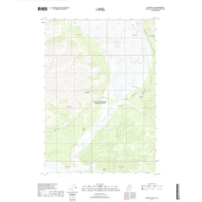 2017 McCarthy B-6 NE2017 Print · USGSMcCarthy and the historic copper-mining hub of Kennicott are shown in this 2017 survey of the Wrangell-Saint Elias wilderness. Researchers can trace glacial movement and mountain transport routes like the Old Wagon Road Trail and Mill Building Road.
 - 2023 Map of McCarthy B-6 NE, 2023 Print
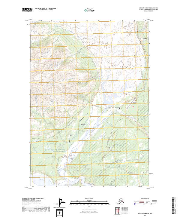 2023 McCarthy B-6 NE2023 Print · USGSMcCarthy and Kennicott are captured here within the Wrangell Mountains at the start of the 2020s. Researchers can trace historical routes like Silk Stocking Row and Old Wagon Road Trl or locate the McCarthy Cem.
End of results
Showing maps 1-6 of 6
Frequently asked questions
- What are the different types of historical maps available for McCarthy?
- What is the oldest map of McCarthy?
- Where can I purchase historical maps of McCarthy for my home or office?
- Where can I download high-res historical maps of McCarthy?
- Are there historical topographic maps available for McCarthy?
- Is there historical aerial imagery available for McCarthy?
- Where are historical maps of McCarthy sourced from?