
1951 Map of McCarthy
USGS Topo · Published 1951About this map
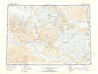
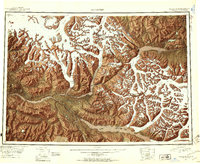
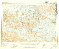
The Wrangell Mountains dominate this 1951 study of the high Alaska wilderness, an area defined by massive ice fields and early industrial mining. The settlement of McCarthy serves as the focal point, situated near the McCarthy Airstrip and the Kennicott National Monument. Evidence of the region's rich copper mining history is visible at the Jumbo Mine, located high above the glacial valleys. The drainage of the Chitina River and its tributaries, including the Nizina River and Kuskulana River, carves through a landscape shaped by the Kennicott Glacier and Nabesna Glacier. On the eastern edge, the international boundary separates Alaska from the Yukon, with White River and Russell Glacier crossing into the United States-Canada borderlands. This survey documents a transition period where the Chitina Trail provided vital overland access to remote mountain peaks like Mt Blackburn and Mt Bona.
Find a feature on this map
68 named features on this map. Tap any name to fly to it.
Don’t see what you’re looking for? This feature index may not catch every label — zoom into the map to look around manually.
Map Details
Editions of this 1951 McCarthy Map
4 editions found
Other maps of this area

1948 · Cordova
USGS Topo · 1:250,000

1950 · Nabesna
USGS Topo · 1:250,000

1950 · McCarthy A-8
USGS Topo · 1:63,360

1950 · Bering Glacier
USGS Topo · 1:250,000

1951 · Gulkana
USGS Topo · 1:250,000

1951 · Bering Glacier
USGS Topo · 1:250,000

1951 · Nabesna
USGS Topo · 1:250,000

1951 · Cordova
USGS Topo · 1:250,000

1951 · Mt Saint Elias
USGS Topo · 1:250,000

1951 · Valdez B-1
USGS Topo · 1:63,360