Old Maps of Nelchina, Alaska for Academic Research
Study the evolution of Nelchina with 7 high-resolution historic maps. Whether you're teaching, researching, or modeling changes in land use, these maps provide essential visual documentation of urban, environmental, and geographic change.
- Analyze long-term change: Track patterns in development, transportation, and natural features.
- Ideal for environmental or urban studies: Support academic projects with primary historical map data.
- Use in the classroom or lab: Educators and researchers rely on these maps to bring historical context to life.
These maps are a powerful tool for teaching, research, and visualizing how Nelchina has changed over the decades.
Nelchina, AK maps
(7)- 1949 Map of Valdez D-8, 1964 Print
 1949 Valdez D-81964 Print · USGSThe northern Alaskan wilderness near the Matanuska-Susitna border is documented here in the late 1940s as the Glenn Highway opened the interior. Researchers can locate remote outpost sites like a Cabin and trace the complex paths of the Nelchina River and Bottle Creek.3 unique versions available
 - 1952 Map of Valdez D-8
 1952 Valdez D-81952 Print · USGSIn the early 1950s, this interior Alaskan corridor was defined by the winding Nelchina River and the critical Glenn Highway. Researchers can trace isolated outposts like the Cabin or locate high-altitude markers like VABM Black 5854 and Twin Lakes.2 unique versions available
 - 1952 Map of Valdez
 1952 Valdez1952 Print · USGSCoastal Alaska met the interior via mountain passes and river valleys during the mid-century, before the 1964 earthquake altered the shoreline. Trace mining history at Midas Camp and Cliff Mine, or locate remote stations like Tiekel Cache and Copper Center.4 unique versions available
 - 1960 Map of Valdez, 1967 Print
 1960 Valdez1967 Print · USGSCoastal and interior Alaska meet in this mid-century study of the Chugach Mountains and the copper-rich river valleys. Trace the legacy of early industry along the Copper River and Northwestern Railroad and locate settlements like Copper Center, Chitina, and Fort Liscum.6 unique versions available
 - 1993 Map of Valdez D-8, 2001 Print
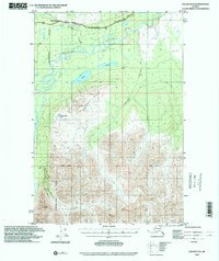 1993 Valdez D-82001 Print · USGSThe Matanuska-Susitna region is shown in the early nineties as a landscape of high ridges and glacial water. Researchers can trace the path of the Glenn Highway past a Campground and remote landmarks like Heavenly Ridge.
 - 2016 Map of Valdez D-8 NE, 2016 Print
 2016 Valdez D-8 NE2016 Print · USGSCovers Nelchina, including Unorganized Borough, United States, and other nearby areas
 - 2023 Map of Valdez D-8 NE, 2023 Print
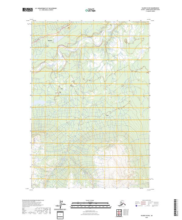 2023 Valdez D-8 NE2023 Print · USGSThe northern reaches of the Copper River area are captured here in the early twenty-first century, centered on the Nelchina River valley. Trace the path of the Glenn Highway as it passes through Nelchina and skirts the heights of Heavenly Ridge.
End of results
Showing maps 1-7 of 7
Frequently asked questions
- What are the different types of historical maps available for Nelchina?
- What is the oldest map of Nelchina?
- Where can I purchase historical maps of Nelchina for my home or office?
- Where can I download high-res historical maps of Nelchina?
- Are there historical topographic maps available for Nelchina?
- Is there historical aerial imagery available for Nelchina?
- Where are historical maps of Nelchina sourced from?