Old Maps of Nome, Alaska for Genealogy
Trace your family roots with 9 historic maps of Nome. These high-res maps reveal old neighborhoods, homesites, landmarks, and streets — helping you uncover where your ancestors lived and how the area evolved over time.
- Explore historic neighborhoods: Identify where your relatives may have lived in the 1800s or 1900s.
- Compare maps over time: Trace the changes in streets, buildings, and landmarks for multi-generational research.
- Perfect for genealogy & ancestry research: Used by family historians and researchers to map out lineage and migration.
These maps are an incredible resource for exploring your personal connection to Nome's past.
Nome, AK maps
(9)- 1950 Map of Nome, 1956 Print
 1950 Nome1956 Print · USGSThe Seward Peninsula at mid-century reveals a remote landscape of mining camps and coastal outposts. Researchers can trace the gold-dredging heritage of Bessie No. 5 Dredge Camp, the old Winter Trail, and the military site at Fort Davis.5 unique versions available
 - 1950 Map of Nome B-1, 1956 Print
 1950 Nome B-11956 Print · USGSThe Seward Peninsula coastline comes into focus during the mid-twentieth century as a vital transportation and mining corridor. Genealogists and researchers can trace the vicinity of Nome past Thaw Field to landmarks like Cape Nome and Alma.3 unique versions available
 - 1950 Map of Nome C-2, 1956 Print
 1950 Nome C-21956 Print · USGSThe coastal Seward Peninsula comes alive in this mid-century survey, showing the mining and trail network northwest of Nome. Trace early prospecting routes along the Winter Trail or locate the Sunset Mine Tailings and Nugget Gulch.3 unique versions available
 - 1950 Map of Nome C-1, 1956 Print
 1950 Nome C-11956 Print · USGSMid-century Nome is shown as a bustling aviation and mining center during the early fifties. Genealogists and historians can trace the Seward Peninsula RR past Perkinsville or locate the Miocene Ditch and Nome Municipal Airport.4 unique versions available
 - 1951 Map of Nome
 1951 Nome1951 Print · USGSThe Seward Peninsula at the start of the 1950s shows the vital connection between its gold-mining history and the Bering Sea coast. Local historians can trace the remote outposts of Jensens Camp, the boundaries of Fort Davis (Military Res), and early aviation sites like the Landing Area.2 unique versions available
 - 1957 Map of Nome
 1957 Nome1957 Print · USGSThe Seward Peninsula comes alive in the mid-fifties, showing the mining camps and coastal outposts of the Norton Sound. Genealogists and historians can trace old sites like Jensens Camp, Fort Davis, and the Dredge Camp along the shores near Nome.
 - 2017 Map of Nome C-1 SW, 2017 Print
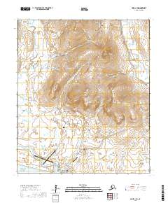 2017 Nome C-1 SW2017 Print · USGSNome and the surrounding Seward Peninsula landscape are documented here during the late twenty-first century. Researchers can trace the legacy of mining and transport through named gulches and roads like Moonlight Springs, Bonanza Hill, and the Nome-Teller Highway.
 - 2017 Map of Nome C-2 SE, 2017 Print
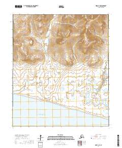 2017 Nome C-2 SE2017 Print · USGSThe Seward Peninsula coast at the edge of Norton Sound comes into focus in this contemporary Alaskan survey. Researchers can trace the winding paths of the Snake River and Penny River, or locate landmarks like Monument Rock and the Bob Blodgett Highway.
 - 2017 Map of Nome B-1 NW, 2017 Print
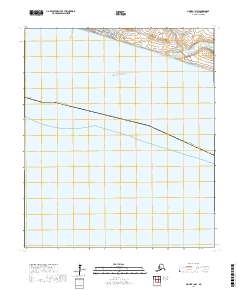 2017 Nome B-1 NW2017 Print · USGSNome remains the central hub of the Seward Peninsula in the early twenty-first century, anchored by its historic waterfront along Norton Sound. Genealogists and local historians can trace the town's growth through the street grid at Front Street and follow regional transport routes like Council Road and Fort Davis Road.
End of results
Showing maps 1-9 of 9
Top neighborhoods of Nome
Frequently asked questions
- What are the different types of historical maps available for Nome?
- What is the oldest map of Nome?
- Where can I purchase historical maps of Nome for my home or office?
- Where can I download high-res historical maps of Nome?
- Are there historical topographic maps available for Nome?
- Is there historical aerial imagery available for Nome?
- Where are historical maps of Nome sourced from?