
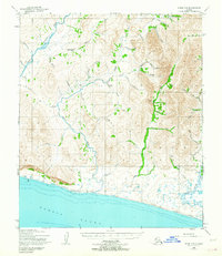
1950 Map of Nome C-2
USGS Topo · Published 1956About this map
The Sinuk River and Cripple River dominate this coastal landscape northwest of Nome, where gold prospecting left a visible mark on the Seward Peninsula. Mining activity is clearly evidenced by the Sunset Mine Tailings near the Snake River, while numerous family and mineral-themed landmarks like Washington Creek, Nugget Gulch, and Elizabeth Cr line the interior valleys. The terrain transitions from the shoreline of Norton Sound to a network of steep gulches and creek beds, which served as the primary routes for early mineral exploration.
Find a feature on this map
42 named features on this map. Tap any name to fly to it.
Don’t see what you’re looking for? This feature index may not catch every label — zoom into the map to look around manually.
Map Details
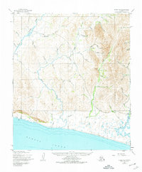
Editions of this 1950 Nome C-2 Map
3 editions found
Other maps of this area

1950 · Nome D-2
USGS Topo · 1:63,360

1950 · Nome
USGS Topo · 1:250,000

1950 · Nome B-1
USGS Topo · 1:63,360
1950 · Nome C-3
USGS Topo · 1:63,360

1950 · Nome D-1
USGS Topo · 1:63,360

1950 · Nome D-3
USGS Topo · 1:63,360

1950 · Nome C-1
USGS Topo · 1:63,360

1951 · Nome
USGS Topo · 1:250,000

1957 · Nome
USGS Topo · 1:250,000
1972 · Nome D-1
USGS Topo · 1:63,360