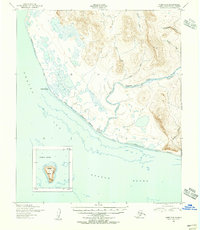
1950 Map of Nome C-3
USGS Topo · Published 1956About this map
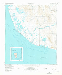
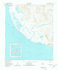
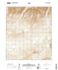
The Sinuk (Sinrock) River flows through this coastal landscape on the Seward Peninsula, terminating near the lone Sinuk Roadhouse along the shore of Norton Sound. This mid-century survey illustrates a remote transport network relying on the Winter Trail (Approximate Alignment), which skirts the coastline past Cape Rodney and across the lowland marshes. The map reveals a transition from the drainage basins of Stuart Creek and Fairview Creek in the northern highlands to the tidal flats and lagoons of the Bering Sea. Offshore, an inset details the isolated topography of Sledge Island, a distinctive landmark in the sound. The land is defined by numerous drainage systems, including Boulder Creek and Quartz Creek, reflecting a wilderness defined by its water routes and seasonal paths rather than established roads.
Find a feature on this map
14 named features on this map. Tap any name to fly to it.
Don’t see what you’re looking for? This feature index may not catch every label — zoom into the map to look around manually.
Map Details
Editions of this 1950 Nome C-3 Map
2 editions found
Other maps of this area

1950 · Nome D-2
USGS Topo · 1:63,360

1950 · Nome D-4
USGS Topo · 1:63,360

1950 · Nome
USGS Topo · 1:250,000

1950 · Nome D-3
USGS Topo · 1:63,360

1950 · Nome C-2
USGS Topo · 1:63,360

1951 · Nome
USGS Topo · 1:250,000

1957 · Nome
USGS Topo · 1:250,000
1975 · Nome C-3
USGS Topo · 1:63,360
2017 · Nome C-2 NW
USGS Topo · 1:25,000
2017 · Nome D-2 SW
USGS Topo · 1:25,000