
1950 Map of Nome
USGS Topo · Published 1956About this map
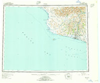
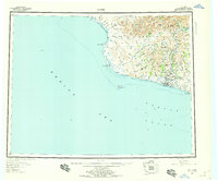
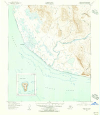
Gold-mining history and the harsh coastal geography of the Seward Peninsula are captured here just after the mid-century mark. The map emphasizes the industrial footprint of the region, featuring the Bessie No. 5 Dredge Camp and the military legacy of Fort Davis situated east of the Nome River. Inland, the terrain is defined by dramatic peaks like Mt Osborn and Tigaraña Mountain, where glacial activity is evident at Glacial Lake and Salmon Lake.
Find a feature on this map
37 named features on this map. Tap any name to fly to it.
Don’t see what you’re looking for? This feature index may not catch every label — zoom into the map to look around manually.
Map Details
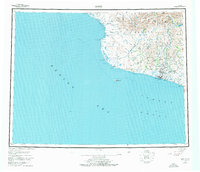
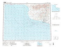
Editions of this 1950 Nome Map
5 editions found
Other maps of this area

1950 · Bendeleben A-6
USGS Topo · 1:63,360

1950 · Nome D-2
USGS Topo · 1:63,360

1950 · Nome D-4
USGS Topo · 1:63,360

1950 · Solomon C-6
USGS Topo · 1:63,360

1950 · Nome B-1
USGS Topo · 1:63,360

1950 · Teller
USGS Topo · 1:250,000

1950 · Bendeleben
USGS Topo · 1:250,000

1950 · Solomon B-6
USGS Topo · 1:63,360

1950 · Teller A-2
USGS Topo · 1:63,360
1950 · Nome C-3
USGS Topo · 1:63,360