
1950 Map of Solomon C-6
USGS Topo · Published 1956About this map
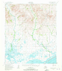
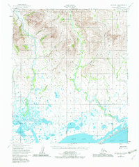
Safety Sound and the northern reaches of Norton Sound dominate the coastal landscape of this 1950s survey, where the saltwater flats meet an intricate network of river deltas. The Eldorado River and the Bonanza River wind through the marshy lowlands, revealing a complex drainage system characterized by numerous small lakes and tidal estuaries. Remote infrastructure of the era is marked by the presence of the Pajara Landing Strip and a rugged Tractor Trail cutting through the interior.
Find a feature on this map
29 named features on this map. Tap any name to fly to it.
Don’t see what you’re looking for? This feature index may not catch every label — zoom into the map to look around manually.
Map Details
Editions of this 1950 Solomon C-6 Map
3 editions found
Other maps of this area

1907 · Casadepaga
USGS Topo · 1:62,500

1907 · Solomon
USGS Topo · 1:62,500

1950 · Nome
USGS Topo · 1:250,000

1950 · Solomon C-5
USGS Topo · 1:63,360

1950 · Nome B-1
USGS Topo · 1:63,360

1950 · Solomon B-6
USGS Topo · 1:63,360

1950 · Solomon
USGS Topo · 1:250,000

1950 · Solomon D-6
USGS Topo · 1:63,360

1950 · Nome D-1
USGS Topo · 1:63,360

1950 · Solomon D-5
USGS Topo · 1:63,360