
1950 Map of Solomon B-6
USGS Topo · Published 1956About this map
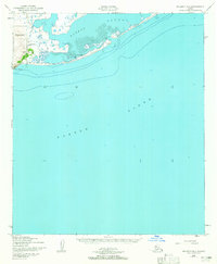
Cape Nome stands as a prominent landmark on this coastal survey, marking the transition between the open waters of Norton Sound and the protected reaches of Safety Sound. The shoreline is characterized by a narrow spit that separates these waters, providing a natural harbor for the small settlement at Port Safety. Here, the presence of the Port Safety Roadhouse and a nearby Ferry crossing indicates the area's importance as a stop for travelers along the Seward Peninsula coast during the mid-20th century.
Find a feature on this map
11 named features on this map. Tap any name to fly to it.
Don’t see what you’re looking for? This feature index may not catch every label — zoom into the map to look around manually.
Map Details
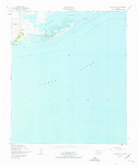
Editions of this 1950 Solomon B-6 Map
3 editions found
Other maps of this area

1907 · Solomon
USGS Topo · 1:62,500

1950 · Nome
USGS Topo · 1:250,000

1950 · Solomon C-5
USGS Topo · 1:63,360

1950 · Solomon C-6
USGS Topo · 1:63,360

1950 · Nome B-1
USGS Topo · 1:63,360

1950 · Solomon
USGS Topo · 1:250,000

1950 · Nome C-1
USGS Topo · 1:63,360

1951 · Nome
USGS Topo · 1:250,000

1951 · Solomon
USGS Topo · 1:250,000

1957 · Nome
USGS Topo · 1:250,000