
1950 Map of Nome B-1
USGS Topo · Published 1956About this map
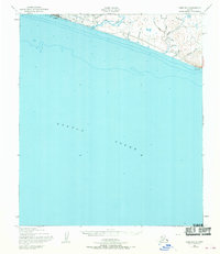
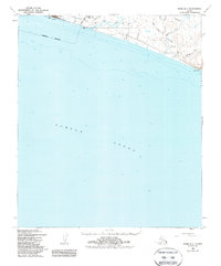
Nome and its immediate coastal surrounds appear here just five years after the close of World War II, showing a landscape defined by both natural gold-rush geography and modern aviation infrastructure. The shoreline of Norton Sound is marked by the presence of Thaw Field and the Towers CAA Radio Range, reflecting the town's importance as a strategic subarctic transportation hub during the mid-century. While the city center is visible at the western edge, the map extends eastward along the coast to Cape Nome.
Find a feature on this map
25 named features on this map. Tap any name to fly to it.
Don’t see what you’re looking for? This feature index may not catch every label — zoom into the map to look around manually.
Map Details
Editions of this 1950 Nome B-1 Map
3 editions found
Other maps of this area

1950 · Nome
USGS Topo · 1:250,000

1950 · Solomon C-6
USGS Topo · 1:63,360

1950 · Solomon B-6
USGS Topo · 1:63,360

1950 · Solomon
USGS Topo · 1:250,000

1950 · Nome C-2
USGS Topo · 1:63,360

1950 · Nome C-1
USGS Topo · 1:63,360

1951 · Nome
USGS Topo · 1:250,000

1951 · Solomon
USGS Topo · 1:250,000

1957 · Nome
USGS Topo · 1:250,000
2017 · Nome C-1 SW
USGS Topo · 1:25,000