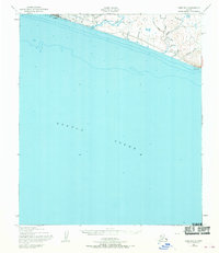
1950 Map of Nome B-1
USGS Topo · Published 1970About this map
Nome sits prominently on the shoreline of Norton Sound in this mid-century topographic record, serving as a critical hub for aviation and maritime activity. The presence of a Lookout Tower, aviation Lights, and the Towers CAA Radio Range reflects the importance of the town as a regional transportation and communication center. Inland, the landscape is defined by the Nome River and a network of mining-related drainage names such as Snow Gulch, Florence Gulch, and Goldengate Creek.
Find a feature on this map
26 named features on this map. Tap any name to fly to it.
Don’t see what you’re looking for? This feature index may not catch every label — zoom into the map to look around manually.
Map Details
Editions of this 1950 Nome B-1 Map
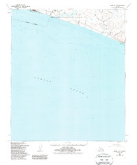
3 editions found
Other maps of this area

1950 · Nome
USGS Topo · 1:250,000

1950 · Solomon C-6
USGS Topo · 1:63,360

1950 · Nome B-1
USGS Topo · 1:63,360

1950 · Solomon B-6
USGS Topo · 1:63,360

1950 · Solomon
USGS Topo · 1:250,000

1950 · Nome C-2
USGS Topo · 1:63,360

1950 · Nome C-1
USGS Topo · 1:63,360

1951 · Nome
USGS Topo · 1:250,000

1951 · Solomon
USGS Topo · 1:250,000

1957 · Nome
USGS Topo · 1:250,000