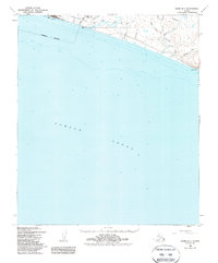
1950 Map of Nome B-1
USGS Topo · Published 1988About this map
The coastal town of Nome serves as the hub of this 1950 coastal survey, showcasing a landscape defined by the intersection of gold rush history and early mid-century infrastructure. Along the eastern edge of the settlement, the Corporate Boundary gives way to industrial and military markers, including the Towers CAA Radio Range, massive Tanks, and the historic site of Fort Davis situated at the mouth of the Nome River.
Find a feature on this map
28 named features on this map. Tap any name to fly to it.
Don’t see what you’re looking for? This feature index may not catch every label — zoom into the map to look around manually.
Map Details
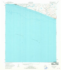
Editions of this 1950 Nome B-1 Map
3 editions found
Other maps of this area

1950 · Nome
USGS Topo · 1:250,000

1950 · Solomon C-6
USGS Topo · 1:63,360

1950 · Nome B-1
USGS Topo · 1:63,360

1950 · Solomon B-6
USGS Topo · 1:63,360

1950 · Solomon
USGS Topo · 1:250,000

1950 · Nome C-2
USGS Topo · 1:63,360

1950 · Nome C-1
USGS Topo · 1:63,360

1951 · Nome
USGS Topo · 1:250,000

1951 · Solomon
USGS Topo · 1:250,000

1957 · Nome
USGS Topo · 1:250,000