
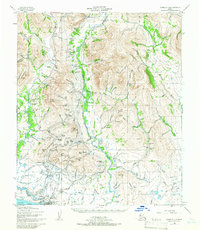
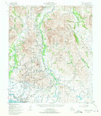
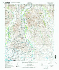
1950 Map of Nome C-1
USGS Topo · Published 1956About this map
Gold mining infrastructure dominates the landscape north of Nome in this 1950s record, revealing a complex network of water management essential to the region's extraction history. Extensive waterworks like the Miocene Ditch and various Elevated Ditches wind through the hills, supported by a Pipe Flume and multiple Sluice Gates. This industrial footprint is tied together by the Seward Peninsula RR, which tracks through the valleys past Perkinsville and the prominent Anvil Mountain.
Find a feature on this map
173 named features on this map. Tap any name to fly to it.
Don’t see what you’re looking for? This feature index may not catch every label — zoom into the map to look around manually.
Map Details
Editions of this 1950 Nome C-1 Map
4 editions found
Other maps of this area

1950 · Nome D-2
USGS Topo · 1:63,360

1950 · Nome
USGS Topo · 1:250,000

1950 · Solomon C-6
USGS Topo · 1:63,360

1950 · Nome B-1
USGS Topo · 1:63,360

1950 · Solomon B-6
USGS Topo · 1:63,360

1950 · Solomon
USGS Topo · 1:250,000

1950 · Solomon D-6
USGS Topo · 1:63,360

1950 · Nome D-1
USGS Topo · 1:63,360

1950 · Nome C-2
USGS Topo · 1:63,360

1951 · Nome
USGS Topo · 1:250,000