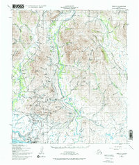
1950 Map of Nome C-1
USGS Topo · Published 1972About this map
Nome and the adjacent settlement of Perkinsville stand as the primary hubs on this coastal landscape, which is heavily shaped by early 20th-century gold mining infrastructure. The map reveals an intricate network of hydraulic engineering, featuring the Miocene Ditch, Beam Ditch, and several Elevated Ditches designed to transport water across the Seward Peninsula to mining claims. Visible Tailings Piles along Anvil Creek and Glacier Creek underscore the intensity of the area's placer mining history. Transportation is anchored by the Seward Peninsula Railway and the Teller Road, which connect the coast to the interior mountains. Geographic landmarks like Anvil Mountain and King Mountain tower over the Snake River valley, while the presence of the Nome Municipal Airport and a Radio Sta reflect the mid-century modernization of this northern frontier.
Find a feature on this map
153 named features on this map. Tap any name to fly to it.
Don’t see what you’re looking for? This feature index may not catch every label — zoom into the map to look around manually.
Map Details
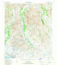
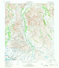
Editions of this 1950 Nome C-1 Map
4 editions found
Other maps of this area

1950 · Nome D-2
USGS Topo · 1:63,360

1950 · Nome
USGS Topo · 1:250,000

1950 · Solomon C-6
USGS Topo · 1:63,360

1950 · Nome B-1
USGS Topo · 1:63,360

1950 · Solomon B-6
USGS Topo · 1:63,360

1950 · Solomon
USGS Topo · 1:250,000

1950 · Solomon D-6
USGS Topo · 1:63,360

1950 · Nome D-1
USGS Topo · 1:63,360

1950 · Nome C-2
USGS Topo · 1:63,360

1950 · Nome C-1
USGS Topo · 1:63,360