
1950 Map of Solomon D-6
USGS Topo · Published 1956About this map
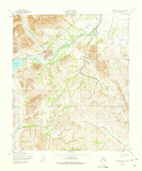
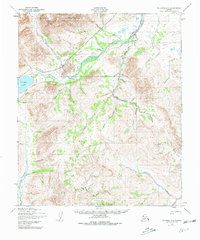
The Kigluaik Mountains dominate the northern landscape of this region, providing a steep backdrop to the waters of Salmon Lake. This 1950 survey documents the interior of the Seward Peninsula during a period of transition, where the legacy of early twentieth-century mining is etched into the terrain. The presence of the Seward Peninsula (Abandoned) Railroad following the course of the Kruzgamepa River serves as a prominent reminder of former industrial infrastructure in this remote area.
Find a feature on this map
47 named features on this map. Tap any name to fly to it.
Don’t see what you’re looking for? This feature index may not catch every label — zoom into the map to look around manually.
Map Details
Editions of this 1950 Solomon D-6 Map
3 editions found
Other maps of this area

1907 · Casadepaga
USGS Topo · 1:62,500

1907 · Solomon
USGS Topo · 1:62,500

1950 · Bendeleben A-6
USGS Topo · 1:63,360

1950 · Bendeleben A-5
USGS Topo · 1:63,360

1950 · Nome
USGS Topo · 1:250,000

1950 · Solomon C-5
USGS Topo · 1:63,360

1950 · Solomon C-6
USGS Topo · 1:63,360

1950 · Teller
USGS Topo · 1:250,000

1950 · Bendeleben
USGS Topo · 1:250,000

1950 · Solomon
USGS Topo · 1:250,000