
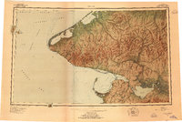
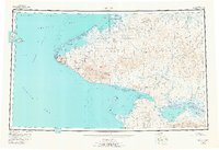
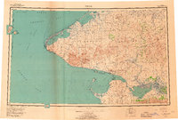
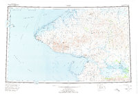
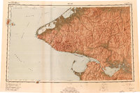
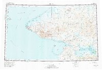
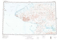
1950 Map of Teller
USGS Topo · Published 1956About this map
The westernmost point of North America meets the international boundary in this detailed 1950 survey of the Seward Peninsula. Centered on the gateway between the Chukchi Sea and the Bering Sea, the map captures the remote settlements of Wales at Cape Prince of Wales and the coastal hub of Teller. The geography is defined by complex coastal waterways like Lopp Lagoon and the sheltered Grantley Harbor, which leads into the vast Imuruk Basin.
Find a feature on this map
52 named features on this map. Tap any name to fly to it.
Don’t see what you’re looking for? This feature index may not catch every label — zoom into the map to look around manually.
Map Details
Editions of this 1950 Teller Map
8 editions found
Other maps of this area

1950 · Bendeleben A-6
USGS Topo · 1:63,360

1950 · Bendeleben B-6
USGS Topo · 1:63,360

1950 · Bendeleben C-6
USGS Topo · 1:63,360

1950 · Nome D-2
USGS Topo · 1:63,360

1950 · Nome D-4
USGS Topo · 1:63,360

1950 · Bendeleben D-6
USGS Topo · 1:63,360

1950 · Nome
USGS Topo · 1:250,000

1950 · Bendeleben
USGS Topo · 1:250,000

1950 · Teller A-2
USGS Topo · 1:63,360

1950 · Solomon
USGS Topo · 1:250,000