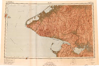
1950 Map of Teller
USGS Topo · Published 1976About this map
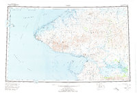
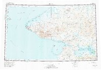
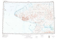
The Seward Peninsula meets the Bering Strait in this mid-century topographic record, where the international boundary between the Ussr and the United States cuts through the Diomede Islands. At the westernmost tip of the continent, the settlement of Wales sits near Cape Mountain, while the mining history of the region is reflected in the York Mountains and the coastal site of York. The geography is defined by a series of interconnected water bodies, including Port Clarence, Grantley Harbor, and the Imuruk Basin.
Find a feature on this map
68 named features on this map. Tap any name to fly to it.
Don’t see what you’re looking for? This feature index may not catch every label — zoom into the map to look around manually.
Map Details
Editions of this 1950 Teller Map
8 editions found
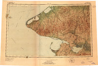
Other maps of this area

1950 · Bendeleben A-6
USGS Topo · 1:63,360

1950 · Bendeleben B-6
USGS Topo · 1:63,360

1950 · Bendeleben C-6
USGS Topo · 1:63,360

1950 · Nome D-2
USGS Topo · 1:63,360

1950 · Nome D-4
USGS Topo · 1:63,360

1950 · Bendeleben D-6
USGS Topo · 1:63,360

1950 · Nome
USGS Topo · 1:250,000

1950 · Teller
USGS Topo · 1:250,000

1950 · Bendeleben
USGS Topo · 1:250,000

1950 · Teller A-2
USGS Topo · 1:63,360