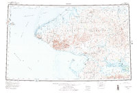
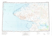
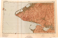
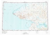
1950 Map of Teller
USGS Topo · Published 1978About this map
The Seward Peninsula reaches its westernmost extent at Cape Mountain, where the U.S. Russia Convention of 1867 boundary line cuts through the Bering Strait between Big Diomede Island and Little Diomede Island. This 1950s-era landscape is defined by remote coastal settlements and seasonal camps connected by a network of Tractor Trails and Winter Trails. Key hubs of activity include Teller and Brevig Mission situated on Grantley Harbor, while more isolated outposts like Tin City and York mark the southern coast of the peninsula.
Find a feature on this map
139 named features on this map. Tap any name to fly to it.
Don’t see what you’re looking for? This feature index may not catch every label — zoom into the map to look around manually.
Map Details
Editions of this 1950 Teller Map
8 editions found
Other maps of this area

1950 · Bendeleben A-6
USGS Topo · 1:63,360

1950 · Bendeleben B-6
USGS Topo · 1:63,360

1950 · Bendeleben C-6
USGS Topo · 1:63,360

1950 · Nome D-2
USGS Topo · 1:63,360

1950 · Nome D-4
USGS Topo · 1:63,360

1950 · Bendeleben D-6
USGS Topo · 1:63,360

1950 · Nome
USGS Topo · 1:250,000

1950 · Teller
USGS Topo · 1:250,000

1950 · Bendeleben
USGS Topo · 1:250,000

1950 · Teller A-2
USGS Topo · 1:63,360