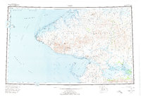
1950 Map of Teller
USGS Topo · Published 1974About this map
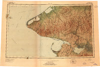
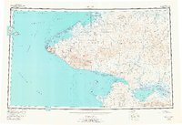
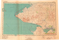
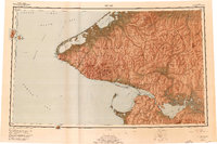
The Seward Peninsula meets the edge of the world here at Cape Prince of Wales, where the USSR United States maritime boundary cuts through the Bering Strait. This 1950s record documents a remote arctic landscape defined by traditional settlements and isolated industrial outposts. Native villages such as Wales and Brevig Mission stand alongside Tin City and the coastal town of Teller. Further inland, the map captures the transition of the Kuzitrin River through the Imuruk Basin, a region once marked by seasonal camps and gold-era travel. Insights into early transport are preserved via the Winter Trail snaking north, while the presence of Pelazuk (Aband) and Marys Igloo provides evidence of shifting settlement patterns along the peninsula’s western reaches and the lower reaches of the Agiapuk River.
Find a feature on this map
57 named features on this map. Tap any name to fly to it.
Don’t see what you’re looking for? This feature index may not catch every label — zoom into the map to look around manually.
Map Details
Editions of this 1950 Teller Map
8 editions found
Other maps of this area

1950 · Bendeleben A-6
USGS Topo · 1:63,360

1950 · Bendeleben B-6
USGS Topo · 1:63,360

1950 · Bendeleben C-6
USGS Topo · 1:63,360

1950 · Nome D-2
USGS Topo · 1:63,360

1950 · Nome D-4
USGS Topo · 1:63,360

1950 · Bendeleben D-6
USGS Topo · 1:63,360

1950 · Nome
USGS Topo · 1:250,000

1950 · Teller
USGS Topo · 1:250,000

1950 · Bendeleben
USGS Topo · 1:250,000

1950 · Teller A-2
USGS Topo · 1:63,360