
1950 Map of Bendeleben B-6
USGS Topo · Published 1955About this map
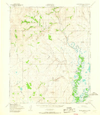
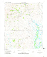
Gold mining operations and remote aviation facilities define this 1950 landscape along the Kougarok River in the Seward Peninsula interior. The map documents active resource extraction at the Placer Gold Mining Area and the Coffee Creek Placer Gold Mining Area, supported by small settlements like Dahl and a Roadhouse. Transportation in this roadless region relied heavily on a network of Tractor Trails and several remote airstrips, including the Kougarok Landing Strip and the Coffee Creek Landing Strip.
Find a feature on this map
47 named features on this map. Tap any name to fly to it.
Don’t see what you’re looking for? This feature index may not catch every label — zoom into the map to look around manually.
Map Details
Editions of this 1950 Bendeleben B-6 Map
3 editions found
Other maps of this area

1950 · Bendeleben C-5
USGS Topo · 1:63,360

1950 · Bendeleben A-6
USGS Topo · 1:63,360

1950 · Bendeleben B-5
USGS Topo · 1:63,360

1950 · Bendeleben A-5
USGS Topo · 1:63,360

1950 · Bendeleben C-6
USGS Topo · 1:63,360

1950 · Teller
USGS Topo · 1:250,000

1950 · Bendeleben
USGS Topo · 1:250,000

1950 · Teller A-1
USGS Topo · 1:63,360

1950 · Teller B-1
USGS Topo · 1:63,360
1950 · Teller C-1
USGS Topo · 1:63,360