
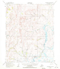
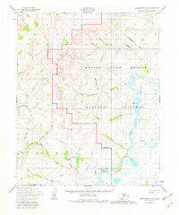
1950 Map of Bendeleben C-5
USGS Topo · Published 1955About this map
The Nozapaga River winds through this interior Seward Peninsula landscape, recorded from aerial photography taken in 1950. The region is characterized by a high density of named watercourses, including the North Fork Kougarok R and numerous creeks such as Goodall Cr and Little Garfield Creek that suggest a history of prospecting and drainage navigation.
Find a feature on this map
39 named features on this map. Tap any name to fly to it.
Don’t see what you’re looking for? This feature index may not catch every label — zoom into the map to look around manually.
Map Details
Editions of this 1950 Bendeleben C-5 Map
3 editions found
Other maps of this area

1950 · Bendeleben B-5
USGS Topo · 1:63,360

1950 · Bendeleben B-6
USGS Topo · 1:63,360

1950 · Bendeleben C-6
USGS Topo · 1:63,360

1950 · Bendeleben B-4
USGS Topo · 1:63,360

1950 · Bendeleben C-4
USGS Topo · 1:63,360

1950 · Bendeleben D-6
USGS Topo · 1:63,360

1950 · Bendeleben D-5
USGS Topo · 1:63,360

1950 · Bendeleben
USGS Topo · 1:250,000

1950 · Bendeleben D-4
USGS Topo · 1:63,360

1951 · Bendeleben
USGS Topo · 1:250,000