
1950 Map of Bendeleben B-4
USGS Topo · Published 1955About this map
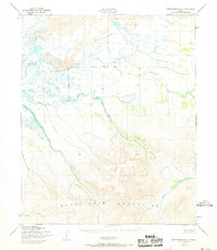
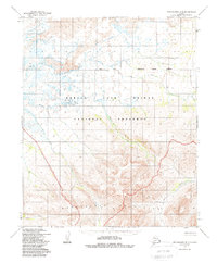
Bendeleben Mountains dominate the southern half of this landscape, their dramatic relief giving way to the expansive volcanic features of the northern plains. The map records a stark contrast in terrain, where extensive Lava flows meet the intricate drainage systems of the Kuzitrin River. This mid-century survey illustrates a remote wilderness defined by water and geology rather than human settlement, with numerous tributaries such as Minnie Creek and Ella Creek carving through the mountain slopes.
Find a feature on this map
9 named features on this map. Tap any name to fly to it.
Don’t see what you’re looking for? This feature index may not catch every label — zoom into the map to look around manually.
Map Details
Editions of this 1950 Bendeleben B-4 Map
3 editions found
Other maps of this area

1950 · Bendeleben C-5
USGS Topo · 1:63,360

1950 · Bendeleben B-5
USGS Topo · 1:63,360

1950 · Bendeleben A-4
USGS Topo · 1:63,360

1950 · Bendeleben C-3
USGS Topo · 1:63,360

1950 · Bendeleben A-5
USGS Topo · 1:63,360

1950 · Bendeleben A-3
USGS Topo · 1:63,360

1950 · Bendeleben C-4
USGS Topo · 1:63,360

1950 · Bendeleben B-3
USGS Topo · 1:63,360

1950 · Bendeleben
USGS Topo · 1:250,000

1951 · Bendeleben
USGS Topo · 1:250,000