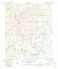
1950 Map of Bendeleben C-5
USGS Topo · Published 1982About this map
The Bering Land Bridge National Preserve encompasses a significant portion of this interior Seward Peninsula landscape, where the Continental Divide winds through the northern peaks. By the mid-20th century, the era of active settlement had largely given way to remote outposts, evidenced by the numerous former locations identified such as Aurora (Site) and Boulder (Site). The terrain is defined by a dense network of watercourses including Eldorado Creek and the North Fork Kougarok R, which served as vital corridors in this roadless region.
Find a feature on this map
45 named features on this map. Tap any name to fly to it.
Don’t see what you’re looking for? This feature index may not catch every label — zoom into the map to look around manually.
Map Details
Editions of this 1950 Bendeleben C-5 Map
3 editions found
Other maps of this area

1950 · Bendeleben C-5
USGS Topo · 1:63,360

1950 · Bendeleben B-5
USGS Topo · 1:63,360

1950 · Bendeleben B-6
USGS Topo · 1:63,360

1950 · Bendeleben C-6
USGS Topo · 1:63,360

1950 · Bendeleben B-4
USGS Topo · 1:63,360

1950 · Bendeleben C-4
USGS Topo · 1:63,360

1950 · Bendeleben D-6
USGS Topo · 1:63,360

1950 · Bendeleben D-5
USGS Topo · 1:63,360

1950 · Bendeleben
USGS Topo · 1:250,000

1950 · Bendeleben D-4
USGS Topo · 1:63,360