
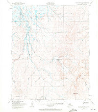
1950 Map of Bendeleben D-6
USGS Topo · Published 1956About this map
Serpentine Springs serves as a remote geographic anchor in this Seward Peninsula landscape, which was documented by the Army Map Service using 1950 aerial photography. The terrain is defined by a dense network of drainages including the Serpentine River and its North Fork, with many waterways like Reindeer Creek and Schlitz Creek carrying names suggestive of early 20th-century exploration and resource extraction. Evidence of human activity is concentrated at a single Gold Mine near Macklin Creek and a Landing Strip adjacent to the springs.
Find a feature on this map
20 named features on this map. Tap any name to fly to it.
Don’t see what you’re looking for? This feature index may not catch every label — zoom into the map to look around manually.
Map Details
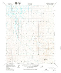
Editions of this 1950 Bendeleben D-6 Map
3 editions found
Other maps of this area

1950 · Bendeleben C-5
USGS Topo · 1:63,360

1950 · Bendeleben C-6
USGS Topo · 1:63,360

1950 · Teller
USGS Topo · 1:250,000

1950 · Bendeleben D-5
USGS Topo · 1:63,360

1950 · Bendeleben
USGS Topo · 1:250,000

1950 · Shishmaref
USGS Topo · 1:250,000

1950 · Shishmaref A-1
USGS Topo · 1:63,360

1950 · Kotzebue A-6
USGS Topo · 1:63,360

1950 · Kotzebue A-5
USGS Topo · 1:63,360

1950 · Teller D-1
USGS Topo · 1:63,360