
1950 Map of Bendeleben D-4
USGS Topo · Published 1956About this map
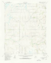
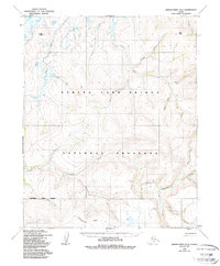
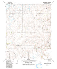
The Goodhope River flows through this Seward Peninsula landscape, recorded by the Army Map Service during the mid-twentieth century. This terrain is defined by a dense network of watercourses branching through the uplands, including Cripple River and the curiously named Hoodlum Creek. The drainage patterns, such as those of Lava Creek and Eagle Creek, reveal the complex geography of the Northwest Arctic before modern development. Aerial photography from 1949 and 1950 captured these remote waterways, including Esperanza Creek and Tallowpot Creek, providing a detailed view of the natural hydrology of the Bendeleben region. While the map lacks permanent settlements or road infrastructure, the named features like Mystery Creek and Polar Creek serve as essential landmarks for navigation and local history in this part of Alaska.
Find a feature on this map
18 named features on this map. Tap any name to fly to it.
Don’t see what you’re looking for? This feature index may not catch every label — zoom into the map to look around manually.
Map Details
Editions of this 1950 Bendeleben D-4 Map
4 editions found
Other maps of this area

1950 · Bendeleben C-5
USGS Topo · 1:63,360

1950 · Bendeleben C-3
USGS Topo · 1:63,360

1950 · Bendeleben C-4
USGS Topo · 1:63,360

1950 · Bendeleben D-5
USGS Topo · 1:63,360

1950 · Bendeleben
USGS Topo · 1:250,000

1950 · Bendeleben D-3
USGS Topo · 1:63,360

1950 · Kotzebue A-4
USGS Topo · 1:63,360

1950 · Kotzebue A-5
USGS Topo · 1:63,360

1950 · Kotzebue A-3
USGS Topo · 1:63,360

1951 · Bendeleben
USGS Topo · 1:250,000