
1950 Map of Kotzebue A-4
USGS Topo · Published 1957About this map
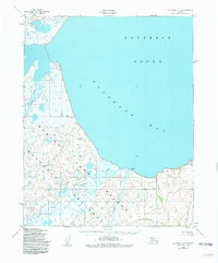
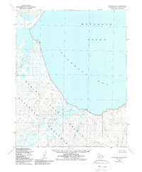
Goodhope Bay and the southeastern reaches of Kotzebue Sound dominate this coastal landscape at the mid-century. The terrain is defined by an intricate network of wetlands and tundra, where the Goodhope River and Inmachuk River meander toward the coast through a complex of small waterways including Pot Creek and Eagle Creek. Surveyed just after the war using aerial photography, the map highlights the geological benchmarks of the era such as VABM Goodhope and VABM Fawn. This topographical study reveals the natural hydrology of the Seward Peninsula's northern coast before significant modern development, capturing the original drainage patterns of Clifford Creek and Francis Creek as they descend from the southern uplands toward the bay.
Find a feature on this map
13 named features on this map. Tap any name to fly to it.
Don’t see what you’re looking for? This feature index may not catch every label — zoom into the map to look around manually.
Map Details
Editions of this 1950 Kotzebue A-4 Map
3 editions found
Other maps of this area

1950 · Bendeleben D-5
USGS Topo · 1:63,360

1950 · Bendeleben
USGS Topo · 1:250,000

1950 · Bendeleben D-3
USGS Topo · 1:63,360

1950 · Bendeleben D-4
USGS Topo · 1:63,360

1950 · Kotzebue B-4
USGS Topo · 1:63,360

1950 · Kotzebue B-5
USGS Topo · 1:63,360

1950 · Kotzebue A-5
USGS Topo · 1:63,360

1950 · Kotzebue A-3
USGS Topo · 1:63,360

1951 · Bendeleben
USGS Topo · 1:250,000

1951 · Kotzebue
USGS Topo · 1:250,000