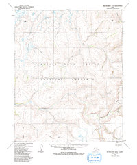
1950 Map of Bendeleben D-4
USGS Topo · Published 1991About this map
Bering Land Bridge National Preserve occupies much of this terrain, capturing a remote landscape of the Seward Peninsula at the middle of the twentieth century. The map illustrates a complex drainage system where the Goodhope River and Cripple River dominate the central topography, fed by numerous tributaries such as Mystery Creek and Bear Creek. To the south, the Continental Divide winds through the uplands, marking a primary hydrological boundary for the region.
Find a feature on this map
25 named features on this map. Tap any name to fly to it.
Don’t see what you’re looking for? This feature index may not catch every label — zoom into the map to look around manually.
Map Details
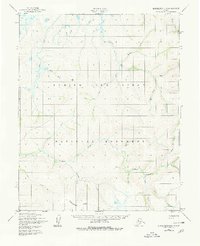
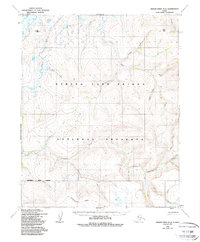
Editions of this 1950 Bendeleben D-4 Map
4 editions found
Other maps of this area

1950 · Bendeleben C-5
USGS Topo · 1:63,360

1950 · Bendeleben C-3
USGS Topo · 1:63,360

1950 · Bendeleben C-4
USGS Topo · 1:63,360

1950 · Bendeleben D-5
USGS Topo · 1:63,360

1950 · Bendeleben
USGS Topo · 1:250,000

1950 · Bendeleben D-3
USGS Topo · 1:63,360

1950 · Bendeleben D-4
USGS Topo · 1:63,360

1950 · Kotzebue A-4
USGS Topo · 1:63,360

1950 · Kotzebue A-5
USGS Topo · 1:63,360

1950 · Kotzebue A-3
USGS Topo · 1:63,360