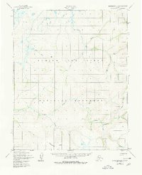
1950 Map of Bendeleben D-4
USGS Topo · Published 1980About this map
The Continental Divide winds across this remote stretch of the Seward Peninsula, demarcating the drainage systems of the Arctic and the Bering Sea. This mid-century survey captures the region as it was formally designated within the Bering Land Bridge National Monument. The landscape is defined by its complex hydrology, where the Goodhope River and Hoodlum River snake through a system of low-relief tundra and volcanic features. Several family-named or descriptive watercourses like Lava Creek, Bear River, and Mystery Creek suggest a history of prospecting and early exploration in the Alaskan interior. The absence of permanent settlements or roads emphasizes the isolation of this terrain during the late 1940s and early 1950s, highlighting a wilderness preserved for its geological and paleontological significance.
Find a feature on this map
24 named features on this map. Tap any name to fly to it.
Don’t see what you’re looking for? This feature index may not catch every label — zoom into the map to look around manually.
Map Details
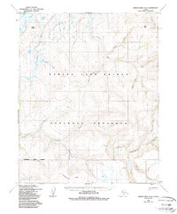
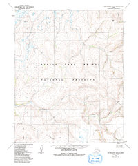
Editions of this 1950 Bendeleben D-4 Map
4 editions found
Other maps of this area

1950 · Bendeleben C-5
USGS Topo · 1:63,360

1950 · Bendeleben C-3
USGS Topo · 1:63,360

1950 · Bendeleben C-4
USGS Topo · 1:63,360

1950 · Bendeleben D-5
USGS Topo · 1:63,360

1950 · Bendeleben
USGS Topo · 1:250,000

1950 · Bendeleben D-3
USGS Topo · 1:63,360

1950 · Bendeleben D-4
USGS Topo · 1:63,360

1950 · Kotzebue A-4
USGS Topo · 1:63,360

1950 · Kotzebue A-5
USGS Topo · 1:63,360

1950 · Kotzebue A-3
USGS Topo · 1:63,360