
1950 Map of Nome D-2
USGS Topo · Published 1956About this map
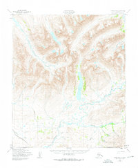
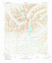
The Kigluaiak Mountains dominate the northern terrain of this 1950s study, where high-elevation basins feed a complex network of waterways on the Seward Peninsula. A central landmark is Glacial Lake, which serves as a significant drainage point for Glacier Creek as it flows southward from the peaks. The landscape is characterized by its sharp relief and the convergence of several major water systems, including the Sinuk River (Sinrock) and the Stewart River. Smaller tributaries like Ruby Gulch and Trinity Creek show the drainage patterns that defined the geography of this area long before modern development. Mapped by the Army Map Service using photogrammetric methods from 1950 aerial photography, the sheet records the unmodified natural state of these drainage basins, providing a baseline for environmental and geological study of the region's interior.
Find a feature on this map
25 named features on this map. Tap any name to fly to it.
Don’t see what you’re looking for? This feature index may not catch every label — zoom into the map to look around manually.
Map Details
Editions of this 1950 Nome D-2 Map
3 editions found
Other maps of this area

1950 · Nome
USGS Topo · 1:250,000

1950 · Teller
USGS Topo · 1:250,000

1950 · Teller A-2
USGS Topo · 1:63,360
1950 · Nome C-3
USGS Topo · 1:63,360

1950 · Nome D-1
USGS Topo · 1:63,360

1950 · Teller A-1
USGS Topo · 1:63,360

1950 · Nome D-3
USGS Topo · 1:63,360

1950 · Nome C-2
USGS Topo · 1:63,360

1950 · Nome C-1
USGS Topo · 1:63,360

1950 · Teller A-3
USGS Topo · 1:63,360