
1950 Map of Nome D-1
USGS Topo · Published 1956About this map
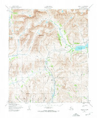
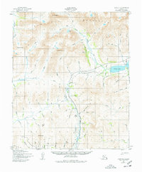
The Kigluaiak Mountains dominate this northern landscape, rising sharply above the headwaters of the Nome River and the Grand Central River. By the mid-20th century, the industrial infrastructure of earlier gold rushes remained visible on the terrain, most notably the Seward Peninsula (Abandoned) Railroad tracking near the shores of Salmon Lake. This era of mineral extraction also left behind significant hydraulic engineering projects like the Miocene Ditch and various other ditches used to divert water for mining operations across the Peninsula. Small outposts such as Jensens Camp dot the lower elevations, while high peaks like Mount Osborn and Tigaraha Mountain define the drainage basins for numerous creeks including Bonanza Creek and San Francisco Creek. The map documents a rugged interior at a time when traditional transportation and water-management systems were being reclaimed by the Alaskan landscape.
Find a feature on this map
77 named features on this map. Tap any name to fly to it.
Don’t see what you’re looking for? This feature index may not catch every label — zoom into the map to look around manually.
Map Details
Editions of this 1950 Nome D-1 Map
3 editions found
Other maps of this area

1950 · Bendeleben A-6
USGS Topo · 1:63,360

1950 · Nome D-2
USGS Topo · 1:63,360

1950 · Nome
USGS Topo · 1:250,000

1950 · Solomon C-6
USGS Topo · 1:63,360

1950 · Teller
USGS Topo · 1:250,000

1950 · Bendeleben
USGS Topo · 1:250,000

1950 · Teller A-2
USGS Topo · 1:63,360

1950 · Solomon
USGS Topo · 1:250,000

1950 · Solomon D-6
USGS Topo · 1:63,360

1950 · Teller A-1
USGS Topo · 1:63,360