
1950 Map of Solomon C-5
USGS Topo · Published 1956About this map
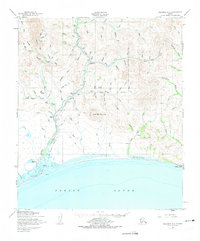
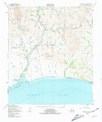
Solomon sits at the edge of Norton Sound, marking a gateway to the mining interior of the Seward Peninsula during the mid-twentieth century. This 1950 survey traces the Solomon Railroad Grade as it snakes north alongside the river, following the path of industrial development into the uplands. The landscape is dotted with seasonal and mining outposts such as Quigleys Camp, Lees Camp, and the A R C Camp, reflecting a territory defined by resource extraction and transit.
Find a feature on this map
95 named features on this map. Tap any name to fly to it.
Don’t see what you’re looking for? This feature index may not catch every label — zoom into the map to look around manually.
Map Details
Editions of this 1950 Solomon C-5 Map
3 editions found
Other maps of this area

1907 · Casadepaga
USGS Topo · 1:62,500

1907 · Solomon
USGS Topo · 1:62,500

1950 · Solomon C-6
USGS Topo · 1:63,360

1950 · Solomon C-4
USGS Topo · 1:63,360

1950 · Solomon B-6
USGS Topo · 1:63,360

1950 · Solomon
USGS Topo · 1:250,000

1950 · Solomon D-6
USGS Topo · 1:63,360

1950 · Solomon D-4
USGS Topo · 1:63,360

1950 · Solomon D-5
USGS Topo · 1:63,360

1951 · Solomon
USGS Topo · 1:250,000