
1950 Map of Solomon C-4
USGS Topo · Published 1956About this map
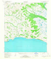
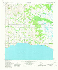
Bluff sits on the southern edge of the Seward Peninsula, overlooking the waters of Norton Sound where the coastline turns sharply at Topkok Head. In this mid-century period, the landscape is defined by its seasonal access, marked by the extensive Winter Trail that cuts through the interior river valleys. The drainage system is complex, with the Eldorado River, Kocheblok River, and Skookum River carving through the terrain alongside numerous prospector-named tributaries like Sourdough Creek, Goldbottom Creek, and Eureka Creek. Near the coast, small clusters of Cabins suggest a transient or seasonal occupancy typical of the region's mining and subsistence history. The northeastern corner is dominated by the broad delta of the Fox River, where Telephone Slough winds through the lowlands before meeting the sea.
Find a feature on this map
36 named features on this map. Tap any name to fly to it.
Don’t see what you’re looking for? This feature index may not catch every label — zoom into the map to look around manually.
Map Details
Editions of this 1950 Solomon C-4 Map
3 editions found
Other maps of this area

1907 · Casadepaga
USGS Topo · 1:62,500

1907 · Solomon
USGS Topo · 1:62,500

1950 · Solomon B-3
USGS Topo · 1:63,360

1950 · Solomon C-5
USGS Topo · 1:63,360

1950 · Solomon D-3
USGS Topo · 1:63,360

1950 · Solomon
USGS Topo · 1:250,000

1950 · Solomon C-3
USGS Topo · 1:63,360

1950 · Solomon D-4
USGS Topo · 1:63,360

1950 · Solomon D-5
USGS Topo · 1:63,360

1951 · Solomon
USGS Topo · 1:250,000