
1950 Map of Solomon B-3
USGS Topo · Published 1956About this map
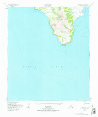
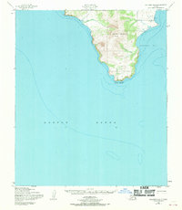
Iknutak Mountain dominates this coastal landscape where the Seward Peninsula meets the subarctic waters of Norton Sound. Mapped by the Army Map Service using aerial photography from 1949 and 1950, the topography shows a steep, dramatic rise from the shoreline to a high point marked at 1,688 feet. A solitary Cabin sits on the eastern shore near the base of the mountain, indicating a sparse human presence in this maritime environment.
Find a feature on this map
7 named features on this map. Tap any name to fly to it.
Don’t see what you’re looking for? This feature index may not catch every label — zoom into the map to look around manually.
Map Details
Editions of this 1950 Solomon B-3 Map
3 editions found
Other maps of this area

1950 · Solomon B-2
USGS Topo · 1:63,360

1950 · Solomon C-4
USGS Topo · 1:63,360

1950 · Solomon C-2
USGS Topo · 1:63,360

1950 · Solomon
USGS Topo · 1:250,000

1950 · Solomon C-3
USGS Topo · 1:63,360

1951 · Solomon
USGS Topo · 1:250,000

2014 · Solomon C-3 SE
USGS Topo · 1:25,000

2014 · Solomon B-2 NW
USGS Topo · 1:25,000
2014 · Solomon B-3 NE
USGS Topo · 1:25,000
2014 · Solomon B-3 NW
USGS Topo · 1:25,000