
1950 Map of Solomon C-3
USGS Topo · Published 1956About this map
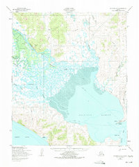
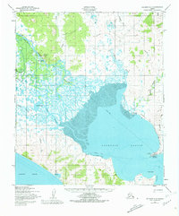
White Mountain sits at the confluence of the Fish River and Kocheblok River, serving as a critical navigation point where the river system opens into the tidal expanses of Golovnin Lagoon. This mid-century survey reveals the vital transportation infrastructure of the Seward Peninsula, from the White Mountain Landing Strip to the extensive Telephone Line and Winter Trail networks that connected isolated settlements. The village of Golovin (Cheenik) anchors the eastern shore of the lagoon, while smaller encampments like Council Landing, Fishing Village, and Cheokook are scattered across the tundra and riverbanks. The map documents a landscape defined by seasonal movement, with many trails marked as approximate alignments, reflecting the fluid nature of travel across the mud flats and frozen waterways of Norton Sound.
Find a feature on this map
27 named features on this map. Tap any name to fly to it.
Don’t see what you’re looking for? This feature index may not catch every label — zoom into the map to look around manually.
Map Details
Editions of this 1950 Solomon C-3 Map
3 editions found
Other maps of this area

1950 · Solomon B-3
USGS Topo · 1:63,360

1950 · Solomon B-2
USGS Topo · 1:63,360

1950 · Solomon C-4
USGS Topo · 1:63,360

1950 · Solomon D-2
USGS Topo · 1:63,360

1950 · Solomon C-2
USGS Topo · 1:63,360

1950 · Solomon D-3
USGS Topo · 1:63,360

1950 · Solomon
USGS Topo · 1:250,000

1950 · Solomon D-4
USGS Topo · 1:63,360

1951 · Solomon
USGS Topo · 1:250,000

2014 · Solomon C-3 SE
USGS Topo · 1:25,000