
1950 Map of Solomon B-2
USGS Topo · Published 1956About this map
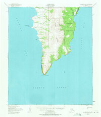
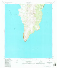
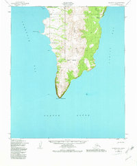
Cape Darby anchors the southern tip of the Seward Peninsula on this mid-century coastal chart, separating the waters of Golovin Bay from Norton Bay. The landscape is dominated by the Kwiktalik Mountains, which rise sharply from the coastline of Norton Sound. Historically, this area is characterized by the extensive Norton Bay Native Reservation, which covers the eastern slopes of the range. Along the western shore, the Golovin Mission serves as a primary point of settlement, while further north, the presence of the Portage Roadhouse near Portage Creek indicates the essential infrastructure for travelers navigating the subarctic coast. A Winter Trail follows the northern boundary, suggesting the seasonal transportation routes vital to this region before modern road development. Notable landmarks for mariners include Carolyn Island and the distinctive Priest Rock situated at the very point of the cape.
Find a feature on this map
15 named features on this map. Tap any name to fly to it.
Don’t see what you’re looking for? This feature index may not catch every label — zoom into the map to look around manually.
Map Details
Editions of this 1950 Solomon B-2 Map
4 editions found
Other maps of this area

1950 · Solomon B-3
USGS Topo · 1:63,360

1950 · Solomon C-2
USGS Topo · 1:63,360

1950 · Solomon C-1
USGS Topo · 1:63,360

1950 · Solomon
USGS Topo · 1:250,000

1950 · Solomon C-3
USGS Topo · 1:63,360

1951 · Solomon
USGS Topo · 1:250,000

2014 · Solomon C-3 SE
USGS Topo · 1:25,000
2014 · Solomon C-2 SE
USGS Topo · 1:25,000

2014 · Solomon B-2 NE
USGS Topo · 1:25,000

2014 · Solomon B-2 NW
USGS Topo · 1:25,000