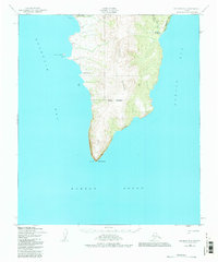
1950 Map of Solomon B-2
USGS Topo · Published 1982About this map
Kwiktalik Mountains dominate this coastal expanse, rising sharply above the cold waters of Golovnin Bay and Norton Bay. The map documents a rugged landscape where early settlement and survival patterns are dictated by the shoreline. At the northern edge, the Golovin Mission and Portage Roadhouse mark vital stops for travelers, while a Winter Trail cuts across the tundra north of Portage Creek. This 1950 topography, revised in 1982, captures the maritime importance of the peninsula ending at Cape Darby, where Priest Rock stands as a prominent landmark. The inclusion of the AMNWR Boundary reflects the transition of these lands into the Alaska Maritime National Wildlife Refuge, preserving the remote character of features like the Limestone Cliffs and the isolated Cabins that dot the western coast.
Find a feature on this map
17 named features on this map. Tap any name to fly to it.
Don’t see what you’re looking for? This feature index may not catch every label — zoom into the map to look around manually.
Map Details
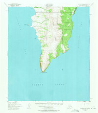
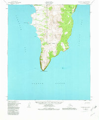
Editions of this 1950 Solomon B-2 Map
4 editions found
Other maps of this area

1950 · Solomon B-3
USGS Topo · 1:63,360

1950 · Solomon B-2
USGS Topo · 1:63,360

1950 · Solomon C-2
USGS Topo · 1:63,360

1950 · Solomon C-1
USGS Topo · 1:63,360

1950 · Solomon
USGS Topo · 1:250,000

1950 · Solomon C-3
USGS Topo · 1:63,360

1951 · Solomon
USGS Topo · 1:250,000

2014 · Solomon C-3 SE
USGS Topo · 1:25,000
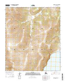
2014 · Solomon C-2 SE
USGS Topo · 1:25,000

2014 · Solomon B-2 NE
USGS Topo · 1:25,000