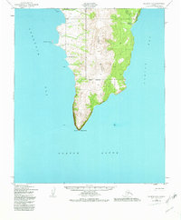
1950 Map of Solomon B-2
USGS Topo · Published 1982About this map
The Kwiktalik Mountains dominate this coastal section of the Seward Peninsula, where the land narrows toward the prominent southern tip at Cape Darby. This 1950 survey, updated with minor revisions in the early 1980s, highlights a sparsely populated landscape defined by subsistence and travel. The Golovin Mission and the Portage Roadhouse serve as primary cultural and logistical markers along the shorelines of Golovnin Bay and Norton Bay.
Find a feature on this map
16 named features on this map. Tap any name to fly to it.
Don’t see what you’re looking for? This feature index may not catch every label — zoom into the map to look around manually.
Map Details
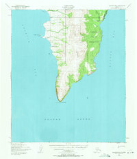
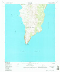
Editions of this 1950 Solomon B-2 Map
4 editions found
Other maps of this area

1950 · Solomon B-3
USGS Topo · 1:63,360

1950 · Solomon B-2
USGS Topo · 1:63,360

1950 · Solomon C-2
USGS Topo · 1:63,360

1950 · Solomon C-1
USGS Topo · 1:63,360

1950 · Solomon
USGS Topo · 1:250,000

1950 · Solomon C-3
USGS Topo · 1:63,360

1951 · Solomon
USGS Topo · 1:250,000

2014 · Solomon C-3 SE
USGS Topo · 1:25,000
2014 · Solomon C-2 SE
USGS Topo · 1:25,000

2014 · Solomon B-2 NE
USGS Topo · 1:25,000