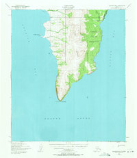
1950 Map of Solomon B-2
USGS Topo · Published 1971About this map
Cape Darby anchors this sub-arctic coastal landscape, marking the southern tip of a peninsula where the waters of Golovin Bay and Norton Bay meet. The 1950 topography reveals a remote Alaskan coastline defined by the steep Kwiktalik Mountains and the expansive Norton Bay Native Reservation to the east. Settlement is sparse, represented by the Golovin Mission on the western shore and the Portage Roadhouse situated near the Limestone Cliffs to the north.
Find a feature on this map
15 named features on this map. Tap any name to fly to it.
Don’t see what you’re looking for? This feature index may not catch every label — zoom into the map to look around manually.
Map Details
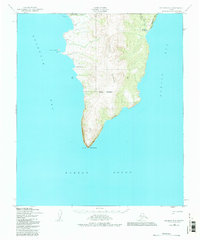
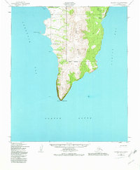
Editions of this 1950 Solomon B-2 Map
4 editions found
Other maps of this area

1950 · Solomon B-3
USGS Topo · 1:63,360

1950 · Solomon B-2
USGS Topo · 1:63,360

1950 · Solomon C-2
USGS Topo · 1:63,360

1950 · Solomon C-1
USGS Topo · 1:63,360

1950 · Solomon
USGS Topo · 1:250,000

1950 · Solomon C-3
USGS Topo · 1:63,360

1951 · Solomon
USGS Topo · 1:250,000

2014 · Solomon C-3 SE
USGS Topo · 1:25,000
2014 · Solomon C-2 SE
USGS Topo · 1:25,000

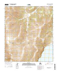
2014 · Solomon B-2 NE
USGS Topo · 1:25,000