
2014 Map of Solomon B-2 NE
USGS Topo · Published 2014About this map
Portage Roadhouse stands as a solitary sentinel on the eastern edge of the Seward Peninsula, overlooking the waters of Norton Bay. This coastal terrain is defined by the elevation of the Kwiktalik Mountains, which rise sharply from the shoreline. Along the northern coast, the Limestone Cliffs provide a distinct geological marker above the bay. Transportation through this remote section of the Nome Census Area is centered on the Cape Darby Road, which skirts the base of Kwiktalik Mountain and crosses small drainages like Carson Cr. The map illustrates a landscape where maritime and terrestrial routes meet, reflecting the sparse but critical infrastructure required for travel in western Alaska.
Find a feature on this map
13 named features on this map. Tap any name to fly to it.
Don’t see what you’re looking for? This feature index may not catch every label — zoom into the map to look around manually.
Map Details
Editions of this 2014 Solomon B-2 NE Map
This is the sole edition of this map. No revisions or reprints were ever made.
Other maps of this area

1950 · Solomon B-2
USGS Topo · 1:63,360

1950 · Solomon C-2
USGS Topo · 1:63,360

1950 · Solomon C-1
USGS Topo · 1:63,360

1950 · Solomon
USGS Topo · 1:250,000

1951 · Solomon
USGS Topo · 1:250,000
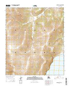
2014 · Solomon C-2 SE
USGS Topo · 1:25,000

2014 · Solomon B-2 NW
USGS Topo · 1:25,000
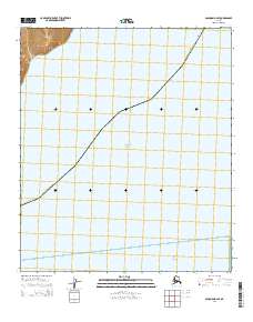
2014 · Solomon B-2 SE
USGS Topo · 1:25,000
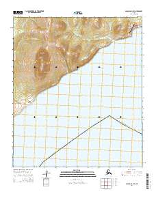
2014 · Solomon C-1 SW
USGS Topo · 1:25,000
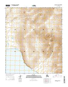
2014 · Solomon C-2 SW
USGS Topo · 1:25,000