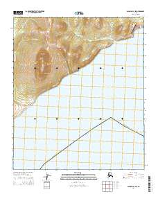
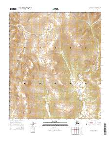
2014 Map of Solomon C-1 SW
USGS Topo · Published 2014About this map
The coastal settlement of Elim and the shoreline of Norton Bay define this 2014 survey of the Seward Peninsula's southern edge. This landscape is characterized by a dramatic transition from the sea to high elevations, notably at Mount Kwinluk and the adjacent Marble Cliffs. Small drainages including Quiktalik Cr and Walla-Walla Cr cut through the terrain, while the Elim Airport and the Airport Road provide essential links for this remote community.
Find a feature on this map
15 named features on this map. Tap any name to fly to it.
Don’t see what you’re looking for? This feature index may not catch every label — zoom into the map to look around manually.
Map Details
Editions of this 2014 Solomon C-1 SW Map
This is the sole edition of this map. No revisions or reprints were ever made.
Other maps of this area

1950 · Solomon B-2
USGS Topo · 1:63,360

1950 · Solomon C-2
USGS Topo · 1:63,360

1950 · Solomon C-1
USGS Topo · 1:63,360

1950 · Solomon
USGS Topo · 1:250,000

1951 · Solomon
USGS Topo · 1:250,000
2014 · Solomon C-2 SE
USGS Topo · 1:25,000

2014 · Solomon B-2 NE
USGS Topo · 1:25,000
2014 · Solomon C-1 SE
USGS Topo · 1:25,000
2014 · Solomon C-1 NE
USGS Topo · 1:25,000
2014 · Solomon C-2 NE
USGS Topo · 1:25,000