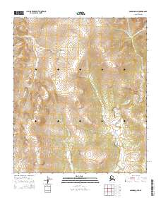
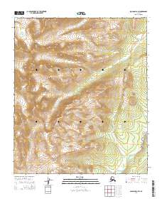
2014 Map of Solomon C-2 NE
USGS Topo · Published 2014About this map
Kwiniuk River winds through the southeastern portion of this terrain, serving as a primary drainage for the surrounding highlands. The landscape is defined by its drainages, including Eagle Cr in the northwest and Burnt Cr further north, which carve through the topography within the public land survey divisions of t9s r20w and t10s r19w. This 2014 survey documents the remote Seward Peninsula interior at a time when the Department of the Interior and the U.S. Geological Survey relied on high-resolution imagery and elevation data to map these northern reaches. The drainage patterns illustrated here suggest a complex watershed system typical of the region northeast of Solomon, where seasonal flow and elevation dictate the land's character.
Find a feature on this map
9 named features on this map. Tap any name to fly to it.
Don’t see what you’re looking for? This feature index may not catch every label — zoom into the map to look around manually.
Map Details
Editions of this 2014 Solomon C-2 NE Map
This is the sole edition of this map. No revisions or reprints were ever made.
Other maps of this area

1950 · Solomon D-2
USGS Topo · 1:63,360

1950 · Solomon C-2
USGS Topo · 1:63,360

1950 · Solomon C-1
USGS Topo · 1:63,360

1950 · Solomon D-1
USGS Topo · 1:63,360

1950 · Solomon
USGS Topo · 1:250,000

1951 · Solomon
USGS Topo · 1:250,000
2014 · Solomon C-2 SE
USGS Topo · 1:25,000
2014 · Solomon C-2 NW
USGS Topo · 1:25,000
2014 · Solomon D-2 SE
USGS Topo · 1:25,000
2014 · Solomon D-1 SW
USGS Topo · 1:25,000