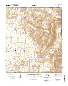
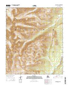
2014 Map of Solomon D-2 SE
USGS Topo · Published 2014About this map
Mount Arathlatuluk towers over this section of the Seward Peninsula, serving as the primary topographic landmark in a landscape defined by high ridges and deep drainage basins. The Rathlatulik River snakes through the central and eastern portions of the quadrangle, collecting several unnamed tributaries as it flows toward the Fish River system. In the southwestern corner, Burnt Cr carves a path through the foothills, indicating the complex water-shedding patterns typical of this subarctic terrain. This 2014 survey documents a wilderness area largely devoid of permanent human infrastructure, emphasizing the natural drainage networks and the Public Land Survey System grids of t7s r20w, t7s r19w, t8s r20w, and t8s r19w that define these remote Alaska interior tracts.
Find a feature on this map
7 named features on this map. Tap any name to fly to it.
Don’t see what you’re looking for? This feature index may not catch every label — zoom into the map to look around manually.
Map Details
Editions of this 2014 Solomon D-2 SE Map
This is the sole edition of this map. No revisions or reprints were ever made.
Other maps of this area

1950 · Solomon D-2
USGS Topo · 1:63,360

1950 · Solomon C-2
USGS Topo · 1:63,360

1950 · Solomon C-1
USGS Topo · 1:63,360

1950 · Solomon D-1
USGS Topo · 1:63,360

1950 · Solomon
USGS Topo · 1:250,000

1951 · Solomon
USGS Topo · 1:250,000
2014 · Solomon C-2 NW
USGS Topo · 1:25,000
2014 · Solomon D-1 NW
USGS Topo · 1:25,000
2014 · Solomon D-2 NE
USGS Topo · 1:25,000
2014 · Solomon D-1 SW
USGS Topo · 1:25,000