
1950 Map of Solomon D-2
USGS Topo · Published 1956About this map
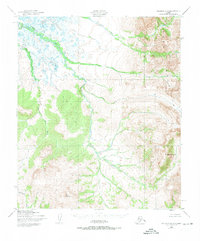
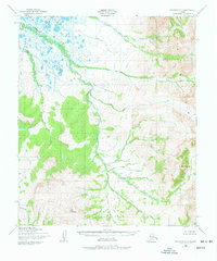
The Darby Mountains dominate the eastern landscape of this 1950s interior Alaska survey, where the high-altitude terrain gives way to the complex braided drainage of the Niukluk River in the northwest. This transition between mountainous slopes and the low-lying basin reveals a wilderness structured by its waterways, including the winding Etchepuk River and its several tributaries. The presence of a lonely Cabin near the center of the sheet suggests the seasonal habitation patterns of the Seward Peninsula's interior, likely serving hunters or trappers traveling these remote drainage systems. From the heights of Mt Arathlatuluk down to the confluence of Arathlatuluk Creek and Burnt Creek, the map provides an exacting record of the region’s topography before significant modern development, emphasizing the dominance of the natural environment over human infrastructure.
Find a feature on this map
11 named features on this map. Tap any name to fly to it.
Don’t see what you’re looking for? This feature index may not catch every label — zoom into the map to look around manually.
Map Details
Editions of this 1950 Solomon D-2 Map
3 editions found
Other maps of this area

1950 · Bendeleben A-3
USGS Topo · 1:63,360

1950 · Bendeleben A-2
USGS Topo · 1:63,360

1950 · Bendeleben A-1
USGS Topo · 1:63,360

1950 · Solomon C-2
USGS Topo · 1:63,360

1950 · Bendeleben
USGS Topo · 1:250,000

1950 · Solomon C-1
USGS Topo · 1:63,360

1950 · Solomon D-1
USGS Topo · 1:63,360

1950 · Solomon D-3
USGS Topo · 1:63,360

1950 · Solomon
USGS Topo · 1:250,000

1950 · Solomon C-3
USGS Topo · 1:63,360