
1950 Map of Bendeleben A-1
USGS Topo · Published 1955About this map
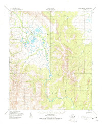
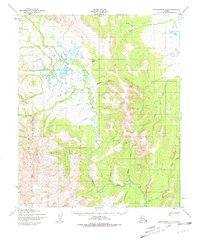
Death Valley dominates the northern landscape of this Seward Peninsula region, a low-lying basin characterized by complex drainage networks and numerous small water bodies. The Tubutulik River serves as the primary artery through the central terrain, winding southward from the Darby Mountains where it is fed by a multitude of tributaries including Moonlight Creek and Admiral Creek. In an area primarily defined by its physical geography, Camp Haven provides a rare point of human establishment, situated near the confluence of Haven Cr and the Tubutulik River.
Find a feature on this map
22 named features on this map. Tap any name to fly to it.
Don’t see what you’re looking for? This feature index may not catch every label — zoom into the map to look around manually.
Map Details
Editions of this 1950 Bendeleben A-1 Map
3 editions found
Other maps of this area

1948 · Norton Bay
USGS Topo · 1:250,000

1950 · Bendeleben B-2
USGS Topo · 1:63,360

1950 · Bendeleben B-1
USGS Topo · 1:63,360

1950 · Bendeleben A-2
USGS Topo · 1:63,360

1950 · Norton Bay D-6
USGS Topo · 1:63,360

1950 · Solomon D-2
USGS Topo · 1:63,360

1950 · Bendeleben
USGS Topo · 1:250,000

1950 · Solomon D-1
USGS Topo · 1:63,360

1950 · Solomon
USGS Topo · 1:250,000

1950 · Candle A-6
USGS Topo · 1:63,360