
1950 Map of Solomon D-3
USGS Topo · Published 1956About this map
The Fish River dominates this interior Alaskan landscape, winding through complex drainage networks that defined travel in the Seward Peninsula during the mid-twentieth century. Captured shortly after the war, the map reveals a remote territory where movement relied on the Winter Trail and a specialized Tractor Trail cutting across the foothills of Mt Wick. The confluence of the Niukluk River and the Fish River creates a labyrinth of waterways, including the descriptively named Steamboat Slough, suggesting the historical reach of shallow-draft river navigation in this subarctic region.
Find a feature on this map
18 named features on this map. Tap any name to fly to it.
Don’t see what you’re looking for? This feature index may not catch every label — zoom into the map to look around manually.
Map Details
Editions of this 1950 Solomon D-3 Map
4 editions found
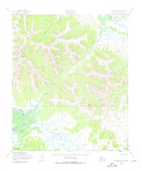
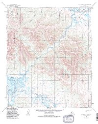
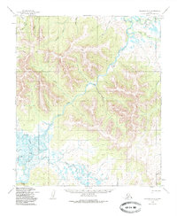
Other maps of this area

1950 · Bendeleben A-4
USGS Topo · 1:63,360

1950 · Bendeleben A-3
USGS Topo · 1:63,360

1950 · Bendeleben A-2
USGS Topo · 1:63,360

1950 · Solomon C-4
USGS Topo · 1:63,360

1950 · Solomon D-2
USGS Topo · 1:63,360

1950 · Solomon C-2
USGS Topo · 1:63,360

1950 · Bendeleben
USGS Topo · 1:250,000

1950 · Solomon
USGS Topo · 1:250,000

1950 · Solomon C-3
USGS Topo · 1:63,360

1950 · Solomon D-4
USGS Topo · 1:63,360