
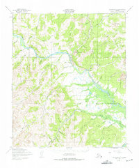
1950 Map of Solomon D-4
USGS Topo · Published 1956About this map
Council sits as the central settlement in this remote Seward Peninsula landscape, positioned at a strategic bend where the Niukluk River meets Melsing Creek. The area’s gold-rush history is etched into the terrain, most notably by the Abandoned RR that formerly connected the interior camps to the coast. This network is supplemented by a series of specialized airstrips, including the Council Mine Landing Strip and Melsing Landing Strip, which speak to the mid-century reliance on bush aviation for supply and transport in roadless regions.
Find a feature on this map
56 named features on this map. Tap any name to fly to it.
Don’t see what you’re looking for? This feature index may not catch every label — zoom into the map to look around manually.
Map Details
Editions of this 1950 Solomon D-4 Map
2 editions found
Other maps of this area

1907 · Casadepaga
USGS Topo · 1:62,500

1907 · Solomon
USGS Topo · 1:62,500

1950 · Bendeleben A-4
USGS Topo · 1:63,360

1950 · Bendeleben A-5
USGS Topo · 1:63,360

1950 · Bendeleben A-3
USGS Topo · 1:63,360

1950 · Solomon C-5
USGS Topo · 1:63,360

1950 · Solomon C-4
USGS Topo · 1:63,360

1950 · Bendeleben
USGS Topo · 1:250,000

1950 · Solomon D-3
USGS Topo · 1:63,360

1950 · Solomon
USGS Topo · 1:250,000