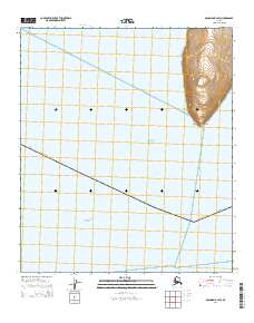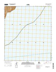
2014 Map of Solomon B-2 SE
USGS Topo · Published 2014About this map
The waters of the Bering Sea and the Pacific Ocean dominate this coastal expanse within the Nome Census Area. This maritime environment is defined by its sparse coastline, with only the northwest corner of the map showing landform relief through subtle elevation contours. The map primarily documents the marine boundary where Alaska meets the sea, providing a clean record of the Public Land Survey System divisions such as t13s r21w and t13s r20w. This chart is a specific record of the remote shoreline before significant modern development, focusing on the intersection of administrative boundaries and the sea.
Find a feature on this map
6 named features on this map. Tap any name to fly to it.
Don’t see what you’re looking for? This feature index may not catch every label — zoom into the map to look around manually.
Map Details
Editions of this 2014 Solomon B-2 SE Map
This is the sole edition of this map. No revisions or reprints were ever made.