
2014 Map of Solomon B-2 NW
USGS Topo · Published 2014About this map
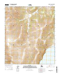
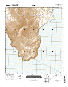
Golovnin Bay dominates the western half of this coastal landscape, marking a significant indentation on the southern shore of the Seward Peninsula. Along the eastern shoreline, the terrain rises sharply into the Kwiktalik Mountains, where the elevation provides a natural barrier between the bay and the interior. The settlement of Golovin Mission is situated on the narrow coastal strip between these heights and the water, representing a critical point of habitation in this subarctic environment.
Find a feature on this map
13 named features on this map. Tap any name to fly to it.
Don’t see what you’re looking for? This feature index may not catch every label — zoom into the map to look around manually.
Map Details
Editions of this 2014 Solomon B-2 NW Map
This is the sole edition of this map. No revisions or reprints were ever made.
Other maps of this area

1950 · Solomon B-3
USGS Topo · 1:63,360

1950 · Solomon B-2
USGS Topo · 1:63,360

1950 · Solomon C-2
USGS Topo · 1:63,360

1950 · Solomon
USGS Topo · 1:250,000

1950 · Solomon C-3
USGS Topo · 1:63,360

1951 · Solomon
USGS Topo · 1:250,000

2014 · Solomon C-3 SE
USGS Topo · 1:25,000
2014 · Solomon C-2 SE
USGS Topo · 1:25,000

2014 · Solomon B-2 NE
USGS Topo · 1:25,000
2014 · Solomon B-3 NE
USGS Topo · 1:25,000