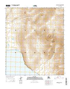
2014 Map of Solomon C-2 SW
USGS Topo · Published 2014About this map
Golovnin Bay defines the southwestern edge of this coastal landscape near Nome, where the tidal waters meet the Seward Peninsula. The terrain is deeply inscribed by a series of drainage systems, most notably Cheenik Cr in the northwest and the winding paths of McKinley Cr and Bryan Cr which dominate the central and eastern sections. These waterways are critical landmarks in a region defined more by its natural hydrology than by human settlement, showing the drainage patterns as they existed in the early 21st century. Further south, the map documents the mouth of Portage Cr as it approaches the bay. This U.S. Geological Survey record provides an essential baseline for understanding the coastal geography and hydraulic flow of this specific Alaskan quadrangle.
Find a feature on this map
11 named features on this map. Tap any name to fly to it.
Don’t see what you’re looking for? This feature index may not catch every label — zoom into the map to look around manually.
Map Details
Editions of this 2014 Solomon C-2 SW Map
This is the sole edition of this map. No revisions or reprints were ever made.
Other maps of this area

1950 · Solomon B-3
USGS Topo · 1:63,360

1950 · Solomon B-2
USGS Topo · 1:63,360

1950 · Solomon C-2
USGS Topo · 1:63,360

1950 · Solomon
USGS Topo · 1:250,000

1950 · Solomon C-3
USGS Topo · 1:63,360

1951 · Solomon
USGS Topo · 1:250,000

2014 · Solomon C-3 SE
USGS Topo · 1:25,000
2014 · Solomon C-2 SE
USGS Topo · 1:25,000

2014 · Solomon B-2 NE
USGS Topo · 1:25,000

2014 · Solomon B-2 NW
USGS Topo · 1:25,000